 Lambton Family Hub
StoriesPlympton-WyomingWyoming, Camlachie and the Lake Huron shore
Plympton-Wyoming, in three stories
A boom town on the railway, and a shore most people drive past.
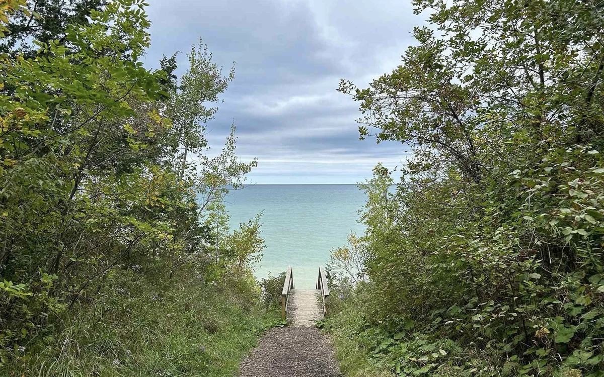
Oil on the railway.
Quiet on the shore.
About these stories
Plympton-Wyoming is two places that happen to share a council. Inland is Wyoming, a railway town that had four oil refineries running before Petrolia had one, and beside it the crossroads of Reece’s Corners, which took the worst of one of the strongest tornadoes ever recorded in Canada and put itself back together. North of it, at the end of every concession road, is a long Lake Huron shoreline of small parks, pebble beaches and one steep bluff that most of Ontario drives straight past on the way to Grand Bend.
Each story ends with what you need to actually go; the Plympton-Wyoming guide has the rest.
01 / Oil country first
Oil country, before it was Petrolia's turn
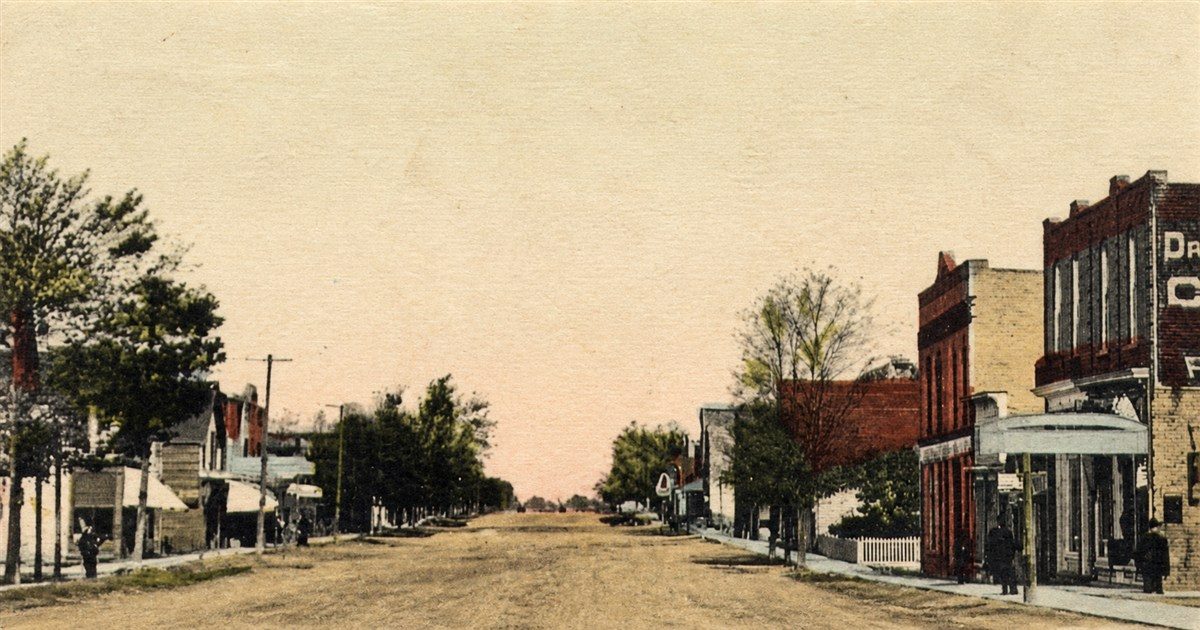
Wyoming exists because of a railway. Officials of the Great Western Railway laid out the townsite in 1856 on the line they were pushing through toward Sarnia, and named it, oddly enough, after a county in Pennsylvania. The town has been explaining that choice to visitors ever since.
Two years later oil was struck at Oil Springs, and Wyoming was suddenly the nearest place to load a barrel onto a train. It boomed almost overnight. Wyoming became an important railhead for the early oil fields, with crude hauled there by wagon over notoriously muddy roads, and at the peak four refineries were running in the town at once. The boom did not last past 1863: Petrolia's own railway connection, built in the 1860s, greatly reduced the need for those long wagon hauls, and the story followed the oil there.
The trace is still on the landscape. Pumpjacks dot the farmland around Wyoming, nodding in the fields the way children notice from the back seat, a quiet reminder of where Ontario's oil industry actually started. The postcard above shows the main street the town settled into afterwards: brick storefronts along a dirt road, and the fairgrounds a short walk away.
The sequel is ten minutes down the road.
Our Petrolia guide02 / 2 May 1983
The afternoon the wind came through
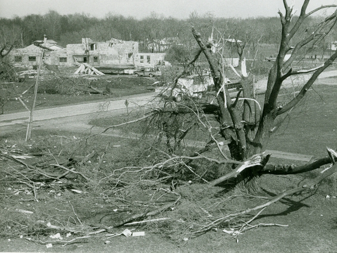
On the afternoon of 2 May 1983 a tornado came across the fields into Plympton Township. It had already torn through Walpole Island and Sombra Township. Here it cut a path from LaSalle Road northeast across the township to Reece’s Corners, about 30 kilometres long and 200 to 400 metres wide. Reece’s Corners took the worst of it: dozens of homes and businesses destroyed, thirteen people hurt, and many families with nowhere to sleep that night.
Environment Canada’s senior climatologist, David Phillips, has called it one of the most powerful and intense tornadoes in Ontario’s history. It was rated F4, the second-highest category on the scale then in use, with winds close to 400 kilometres an hour: enough to lift transport trucks and twist them like pretzels, tear off roofs, and flatten sturdy buildings down to the foundation.
The township rebuilt. Drive through Reece’s Corners or Wyoming today and nothing announces what happened, which is rather the point: the memory is kept by the people who were there, and by the age of the buildings if you know to look.
For a child, the useful version is short. This is open country under a big sky, and the weather here is taken seriously for a reason. On the drive out, count the pumpjacks; on the drive home, count the roofs that all look the same age.
03 / The shore
The quiet side of Lake Huron
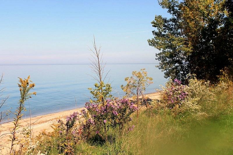
Lakeshore Road runs the length of the municipality's Lake Huron frontage, and most of the traffic on it is going somewhere else: Grand Bend, the Pinery, a cottage further up. Plympton-Wyoming's own shore is a string of small names, Errol, Camlachie, Wellington Beach, and a handful of parks that end at the water.
Highland Glen is the dramatic one, and the reason to stop: a bluff above the beach, wildflowers on the slope in summer, a boat launch below and a short trail, with the lake laid out from the top. The rest of the string, McEwen Park and Lamrecton Park among them, are smaller stops along the same road. None of them is a resort beach, and that is exactly what makes them useful with children on a weekday in July.
Camlachie is the village that goes with the shore, with a library and the museum a short drive back from the water. Give the children the whole afternoon at one beach rather than a tour of three, and leave before the youngest is overtired. The road home passes the pumpjacks.
Keep reading
More stories from Lambton.
St. Clair River
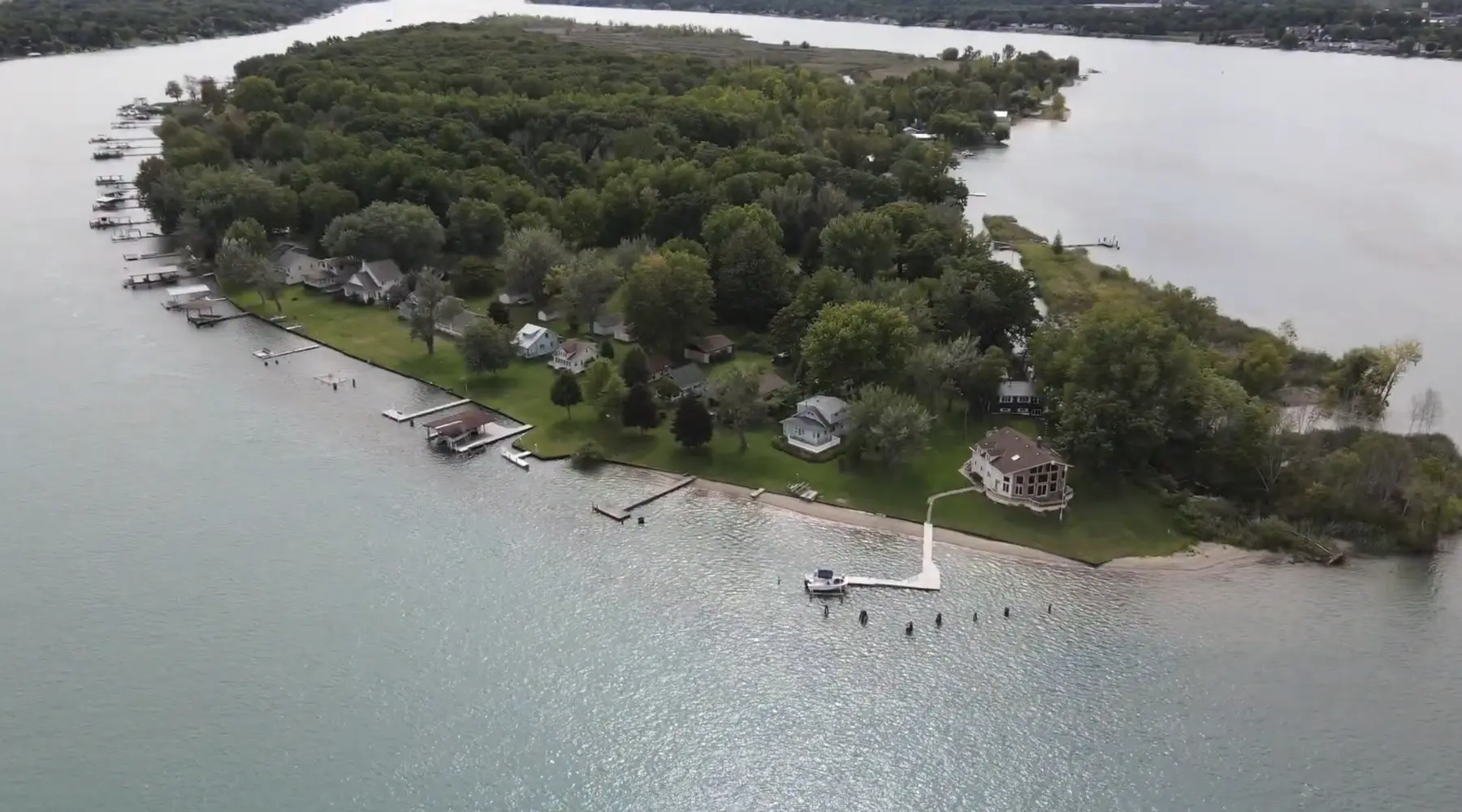
Stag Island, the forgotten resort
The quiet cottage island near Corunna was once one of the busiest summer destinations around, reached by excursion steamer and filled with hotels and dancing.
Sarnia
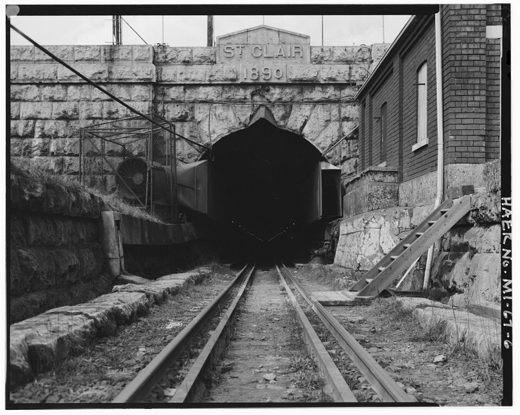
The railway that went under the river
In 1891 the Grand Trunk dug the first international submarine railway tunnel in North America beneath the St. Clair. Then it had to work out how to breathe down there.
Historical notes draw on Lambton Family Hub's own research for its Plympton-Wyoming and Wyoming fall fair pages, and on the Plympton-Wyoming Museum and the Town of Plympton-Wyoming, checked in September 2026. Opening, prices and availability can change, and the links take you to the current details. Suggest a correction.