 Lambton Family Hub
Seasons of Lambton · Spring
Spring in Lambton County, from the Bog to the Bay
Thousands of tundra swans on flooded fields. Maple syrup boiling over wood fires.
And the first quiet beach walks before summer arrives.
In this guide
Why spring here is different
Spring in Lambton County does not arrive on a date. It arrives in a sequence: the swans land on the flooded fields behind the Pinery dunes, the sap starts to run in the sugar maples, the trilliums open under the oaks, the melt turns Rock Glen loud, and the freighters come back under the Blue Water Bridge. Each one is a reason to put the children in the car for a morning, and each one is over in a few weeks.
This guide follows the shoreline the way the season does, north to south: from the Thedford Bog, the drained lakebed where the swans stop, to Sarnia Bay, where the lake narrows into the river. The stories explain what you are looking at. Beside each one is the stop to pair it with and a question to bring along.
01 / Winged migration
The swans come back to the drowned lands
Every March, before the fields are dry enough to work, the flats between Thedford and Grand Bend fill with tundra swans. They come up from the Atlantic coast, where they spend the winter around Chesapeake Bay, on their way to nesting grounds on the Arctic tundra, and this corner of Lambton is one of the places they stop to rest and feed. In a good year there can be as many as fifteen thousand, white against black soil, and the sound reaches the car before the birds do.
They land here because of what the land used to be. The ground behind the Pinery dunes was once three shallow lakes, Lake Smith, Lake George and Lake Burwell, and the settlers called the whole basin the Drowned Lands. It was drained for farming more than a century ago, but every spring the melt and the rain put water back into the low fields for a few weeks, and the swans find last year's leftover corn and grain under it. The Lambton Shores guide tells the story of the drained lakes. The swans are its annual footnote.
Tell the children what they are looking at. A tundra swan weighs about as much as a large turkey and flies a loop of some six thousand kilometres a year, Chesapeake Bay to the Arctic and back, in family groups that stay together through the first winter. Most have a small yellow spot in front of the eye on the black bill; that is the mark that separates a tundra swan from the bigger trumpeter swan, whose bill is all black. Older field guides call them whistling swans.
The Lambton Heritage Museum marks the return of the swans every March, with an exhibit, a viewing spot on the bog behind it, and daily estimates of how many have arrived. Go on a still morning, stay on the road shoulder, and bring binoculars if you have them. The birds keep their distance, and so should you.
Read further: Tundra Swan, Cornell Lab of Ornithology · Return of the Swans, Lambton Heritage Museum
Pair the story with a stop: Lambton Heritage Museum, 10035 Museum Road, Grand Bend. The museum runs the Return of the Swans each March; check its site for the current count and viewing advice, then drive on to the fields. Admission applies to the museum itself.
Open the Lambton Heritage Museum in maps02 / Sugar bush season
Sap, snow and the first sweet thing of the year
Maple syrup is the one spring event that runs on weather rather than a calendar. Sap moves in a sugar maple when the nights drop below freezing and the days climb above it, which in Lambton usually means the last weeks of February through March. Warm days push the sap up, cold nights pull it back down, and a tapped tree drips into its bucket only on the days that do both.
It takes about forty litres of sap to make one litre of syrup. Sap comes out of the tree almost clear and barely sweet, and everything you pour on a pancake is what is left after the water has been boiled away, hour after hour, over a wood fire. That is why a sugar bush smells the way it does in March, and why a bottle of the real thing costs what it costs.
People were doing this here long before there was a Lambton County. First Nations across the Great Lakes were tapping maples and boiling the sap down to sugar before any settler arrived, and the settlers learned the method from them. Ontario is Canada's third-largest maple producer, a long way behind Quebec and a little behind New Brunswick, and much of it still comes from small family bushes like the ones on the county's back roads.
The family version is the taffy. Hot syrup poured on a trough of clean snow sets into a chewy ribbon in seconds, and a child winds it onto a stick before it hardens. Most sugar bushes that open to visitors do this on their festival weekends. Get there early; the pancakes and the parking both run out.
Read further: Ontario Maple Syrup Producers' Association · St. Clair Region Conservation Authority
03 / Trilliums & dunes
The Pinery, before the crowds
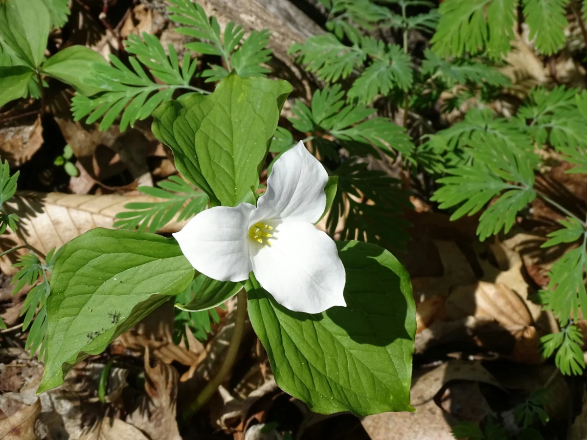
Pinery Provincial Park is known for its beach, which is ten kilometres long and busy from June to Labour Day. Spring is when the rest of the park gets its turn. Behind the beach is one of the largest oak savannas left in Ontario, an open woodland of black oak and prairie grass growing on old dunes, and in late April and May its floor is white with trilliums.
The white trillium has been Ontario's floral emblem since 1937, and it is a plant worth kneeling down to. It takes years to grow from seed to its first flower, its three petals fade to pink as they age, and if the leaves are picked the plant loses the season's food and can take years to bloom again. Look, photograph, count, and leave them.
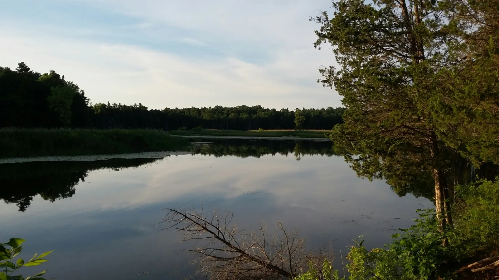
The Old Ausable Channel runs through the park too, a loop of the river that was cut off when the harbour at Grand Bend was straightened in the 1890s. In spring it is still water between the dunes, and the first turtles of the year are out on its logs. The park's trails cover the savanna, the channel and the shore, and the paddling and bike rentals reopen as the weather warms. The Grand Bend guide has the river's whole story.
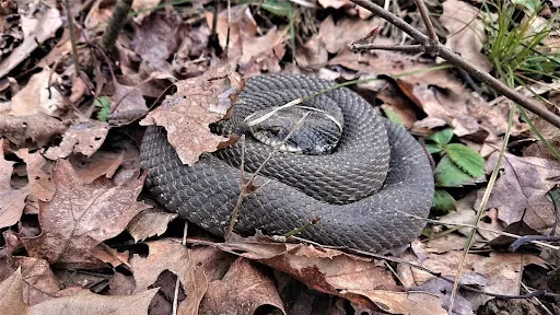
April is also when the park's eastern hognose snakes come up from their winter dens in the sand. They are a threatened species in Ontario and harmless to people, famous for flattening their necks like a cobra and, if that fails, rolling over and playing dead. The Pinery's dunes are one of the places they still do well, and the park and the Friends of Pinery built an eco-passage under the Burley Causeway, a box culvert with fencing that steers snakes, turtles and small mammals under the road instead of across it, with a camera counting who uses it. Watch the road edges on the drive in, and give anything crossing the right of way.
Read further: Pinery Provincial Park, Ontario Parks · Who uses the Pinery's eco-passage · The eastern hog-nosed snake
Pair the story with a stop: Pinery Provincial Park, Lakeshore Road (Highway 21), south of Grand Bend. A day-use vehicle permit is needed, bought at the gate or online, and the park is open year-round. In spring the Cedar and Heritage trails are the walks to pick, both flat and mostly accessible, with the Heritage Trail's boardwalk out over the channel for turtle spotting; the beach can wait.
Open the Pinery in maps04 / Rock Glen fossils
A waterfall in a hurry, and a seabed on the wall
Spring is when Rock Glen is loudest. The falls near Arkona drop about eleven metres over a lip of limestone into a wooded gorge, and in April the melt from the fields upstream turns a modest creek into something you can hear from the parking lot. By July it is a trickle. Go early in the season.
The gorge walls are the other reason to come. The rock is Devonian, laid down more than 350 million years ago when this part of Ontario lay under a warm, shallow sea, and it is full of what lived in that sea: brachiopods like small ribbed clams, horn corals, and the stacked discs of crinoid stems. They weather out of the shale and turn up in the creek bed after every week of high water, which makes spring the best time to look.
The rules are simple and worth reading aloud before anyone starts. Each visitor may keep one fossil found loose on the ground; no digging, no tools, no chipping at the walls. The stairs into the gorge are steep and the ground at the bottom is wet in spring, so this is a boots outing, not a stroller one.
The Arkona Lions Museum at the top of the site holds a fossil collection that puts names to what the children found, along with minerals and local artifacts. The Lambton Shores guide has more on Arkona and on the drained lakes down the road.
Read further: Rock Glen Conservation Area, Ausable Bayfield Conservation Authority
05 / Lake Huron wake-up
The lake comes back to life at Canatara
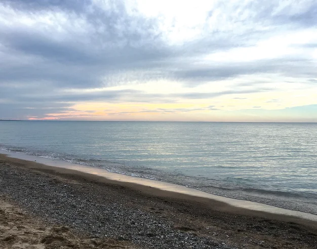
The bay end of this guide is Sarnia, where Lake Huron narrows into the St. Clair River under the Blue Water Bridge. Canatara Park sits on the lake just north of the bridge, with a beach, Lake Chipican and the Seaway Kiwanis Animal Farm inside it, and in April it is the easiest spring outing in the county: free, close, and different every week.
Start at the water. The beach is empty in spring, the lake is too cold for anything but a toe, and the sand is covered in what the winter left behind: driftwood, smooth stones, the odd ledge of ice still melting in the shade. It is the best beachcombing of the year, and nobody is asking you to leave by dark. Walk toward the point and you can see the bridge and, most days, a freighter.
The freighters are their own spring event. The Soo Locks at Sault Ste. Marie close for the winter and reopen on March 25 every year, and within days the big lake boats are running again, each one passing under the Blue Water Bridge on its way into or out of Lake Huron. The Point Edward waterfront under the bridge is as close as you can stand to one without being on it. The Sarnia guide has the bridge, the tunnel and the river.
Then the animal farm, run by the Humane Society with the Seaway Kiwanis Club and the City. It is free, with a donation box for the animals, and if your timing is right in spring you might get to see the new baby lambs; ask what else has been born since the snow went. The trail around Lake Chipican takes twenty minutes at a child's pace, and the herons are back on the pond by the end of April.
Read further: City of Sarnia parks · Lambton Wildlife: nature areas field survey (PDF)
Pair the story with a stop: Canatara Park, Lake Chipican Drive, Sarnia. Free parking, an accessible playground, washrooms by the beach, and the animal farm's own season and hours on the City's site. Point Edward's waterfront park is five minutes away under the bridge.
Open Canatara Park in mapsSources & further reading
Tundra swans
Maple syrup
- Ontario Maple Syrup Producers' Association
- St. Clair Region Conservation Authority: the A.W. Campbell Maple Syrup Festival listing
- A.W. Campbell and Alvinston, in the Hub's Warwick guide
The Pinery
Rock Glen
Canatara & the river
Photographs
- Old Ausable Channel, Zach Brown and white trillium, Steven Brown, under the Unsplash licence
- Tundra swans on a flooded field, and the spring lamb: iStock, licensed by the Hub
- Rock Glen and McEwen Park: the Hub's own guide photographs