 Lambton Family Hub
The shipwreck beneath Canatara Beach
Just over a hundred feet from the shoreline, the outline of a wooden Great Lakes freighter rests under the shallow water. Its name was the Gladstone.
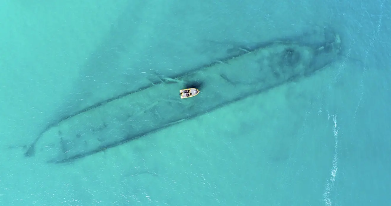
A ship that came to Sarnia to stay.
About this story
Generations of families have swum, paddled and built sandcastles at Canatara Beach without knowing what lies a short way out. The Gladstone was a working freighter for thirty years, carried iron ore across the lakes, and came to Sarnia in 1923 not to sail again but to sit still and shelter the waterfront. It is still there, and on a calm, clear day its shape is visible from above.
01 / Thirty years on the lakes
A working ship before it became a breakwater
The Gladstone was built as a wooden bulk cargo carrier. For decades it carried iron ore and other materials across the Great Lakes, part of the same shipping story families can still watch from Sarnia's waterfront today.
In 1918, while the ship was at its winter moorings in Pine River, Michigan, an ice jam crushed its hull and left it unseaworthy. The damaged vessel was later purchased and brought to Sarnia in 1923, not to sail again, but to serve as a breakwater near Canatara Beach.
02 / Settling in
How it ended up beneath the water
The ship was positioned offshore to help shelter the waterfront. Over time, the old wooden structure settled beneath Lake Huron. Its remains are still visible from above when the water is calm and clear, although changing water levels can make the outline easier or harder to see.
The wreck is sometimes described as a surprising discovery, even by lifelong Sarnians. A 2016 drone photograph helped bring renewed local attention to the enormous shape resting close to a beach used by generations of families.
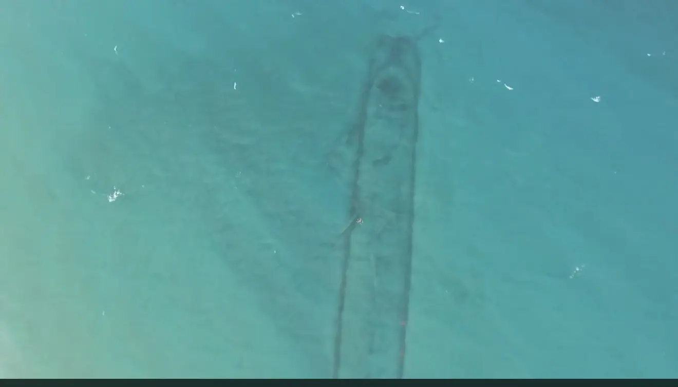
The Gladstone connects several parts of the city's identity: Lake Huron, Great Lakes shipping, Canatara Park and the shoreline itself. It is a piece of industrial history hiding beside one of Sarnia's most familiar family spaces.
03 / Around the bridge
One of eight commonly mapped local wreck sites
The Gladstone is not alone. Local maps commonly identify seven additional underwater sites around the Blue Water Bridge. Together with the Canatara wreck, that makes eight familiar wreck locations in the immediate Sarnia and Point Edward story.
The count needs one small explanation: not every marker represents a complete ship. The Sidney E. Smith Jr. site is the freighter's salvaged self-unloading boom, while “International Scout” is a community-map label without a confirmed sinking year. The wider upper St. Clair River contains still more documented wreckage beyond these eight familiar locations.
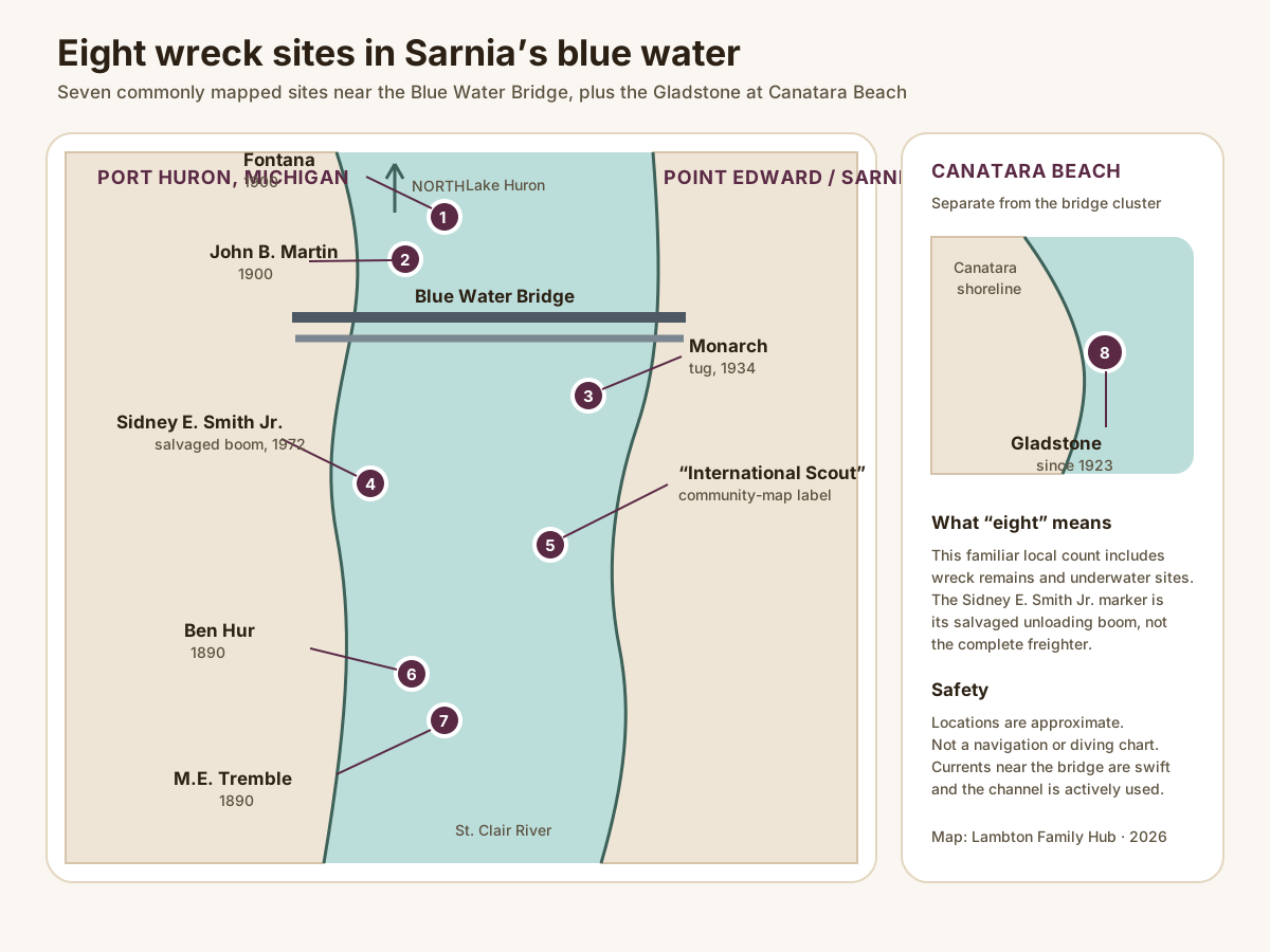
- Fontana
- Wooden schooner-barge, 1900
- John B. Martin
- Wooden schooner-barge, 1900
- Monarch
- Tugboat, 1934
- Sidney E. Smith Jr. boom
- Salvaged freighter component, 1972
- “International Scout”
- Community-map label; date unconfirmed
- Ben Hur
- Salvage schooner, 1890
- M.E. Tremble
- Three-masted schooner, 1890
- Gladstone
- Canatara breakwater wreck, since 1923
Keep reading
More stories from the water.
Sarnia
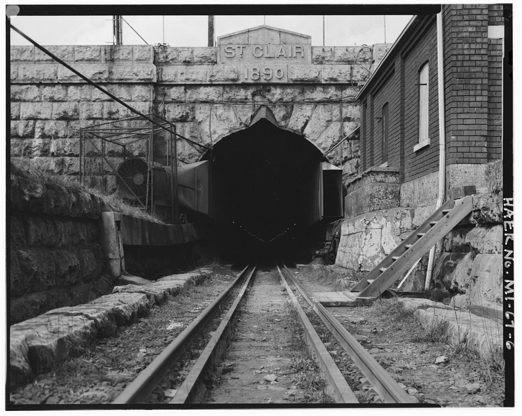
The railway that went under the river
In 1891 the Grand Trunk dug the first international submarine railway tunnel in North America beneath the St. Clair. Then it had to work out how to breathe down there.
St. Clair River
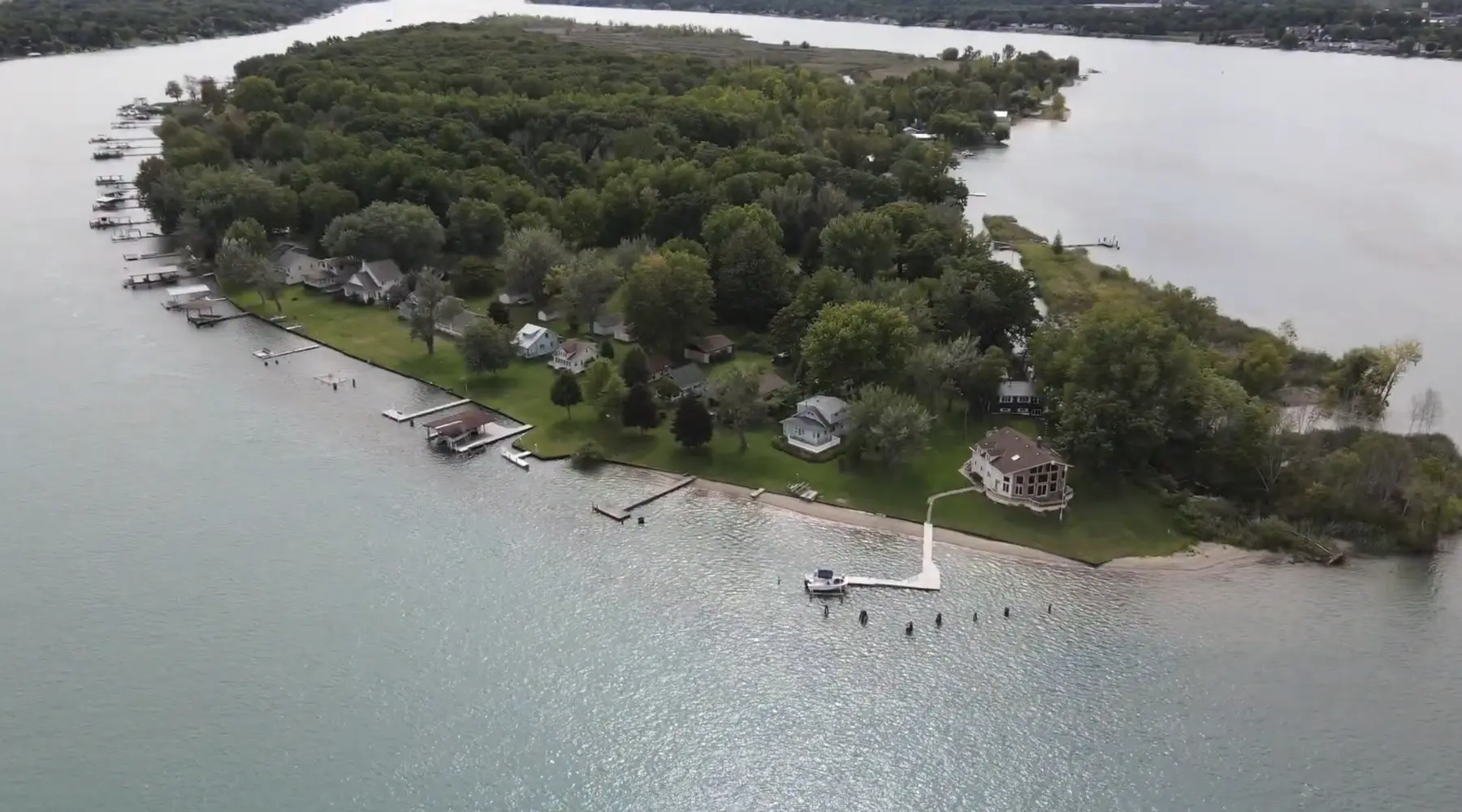
Stag Island, the forgotten resort
The quiet cottage island near Corunna was once one of the busiest summer destinations around, reached by excursion steamer and filled with hotels and dancing.
Sources: Sarnia Historical Society, “The Inglorious Fate of the Gladstone”, Port Huron River Wrecks historical marker, and Blue Water Fun dive-site summaries. Historical details should not be confused with the smaller W.E. Gladstone tug listed in some shipwreck databases. Suggest a correction.